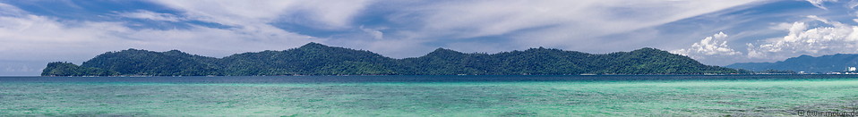
The Tunku Abdul Rahman National Park consists of five islands located 3-8 km off the coast of Kota Kinabalu and the reefs in between, with a total area of 4929 hectares. The islands of the park are Pulau Gaya, Pulau Sapi, Pulau Manukan, Pulau Mamutik and Pulau Sulug. The park was initially set up in 1974 with the islands of Gaya and Sapi, then occupying and area of 3640 hectares. In 1979 the park was extended to include the islands of Manukan, Mamutik and Sulug.
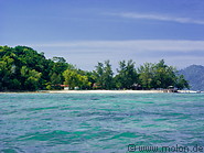
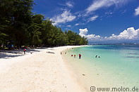
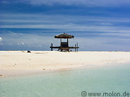
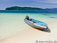
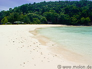
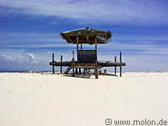
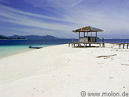
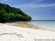
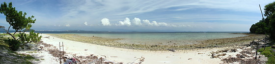
All islands of the park are easily accessible with ferry services costing 20-30 RM/trip. Most islands except Gaya have sandy beaches. Snorkelling is possible, however, because much of the coral around the islands has been destroyed by dynamite fishing, experienced divers and snorkellers are likely to be disappointed. In addition, due to the proximity to Kota Kinabalu, the seawater is not that crystal clear. Gaya, Manukan and Mamutik have (expensive) tourist Accommodation.The Malaysia Tunku Abdul Rahman National Park, with a total area of 4929 hectares, consists of five islands off the coast of Kota Kinabalu and the reefs in between. The islands are only a short boat ride from downtown Kota Kinabalu and have some of the better beaches in Sabah. Of the five islands, only Manukan and Mamutik have Accommodation.
Page viewed 954 times since 12.05.24
©Copyright Alfred Molon